
Commercial Real Estate Drone Photography in Houston
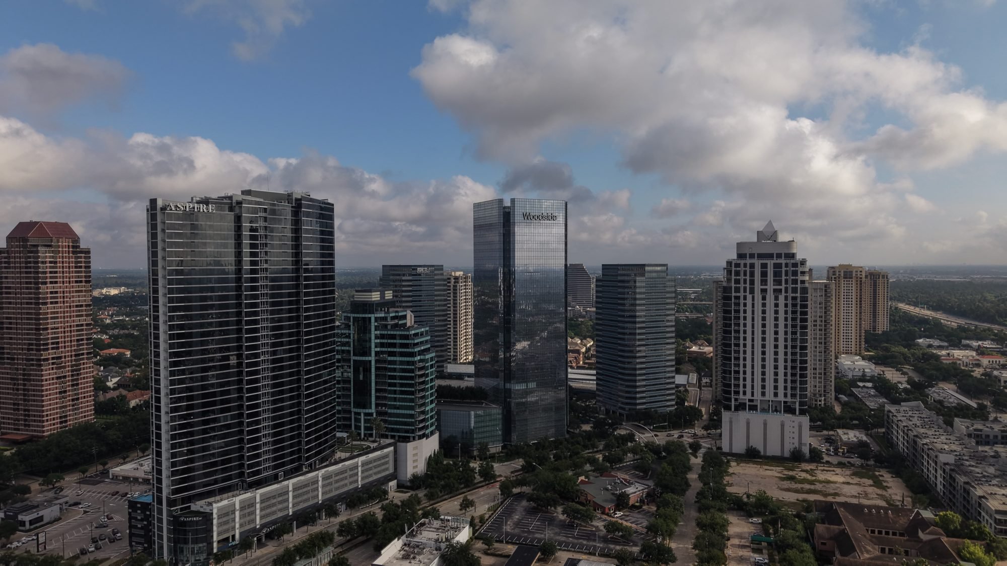
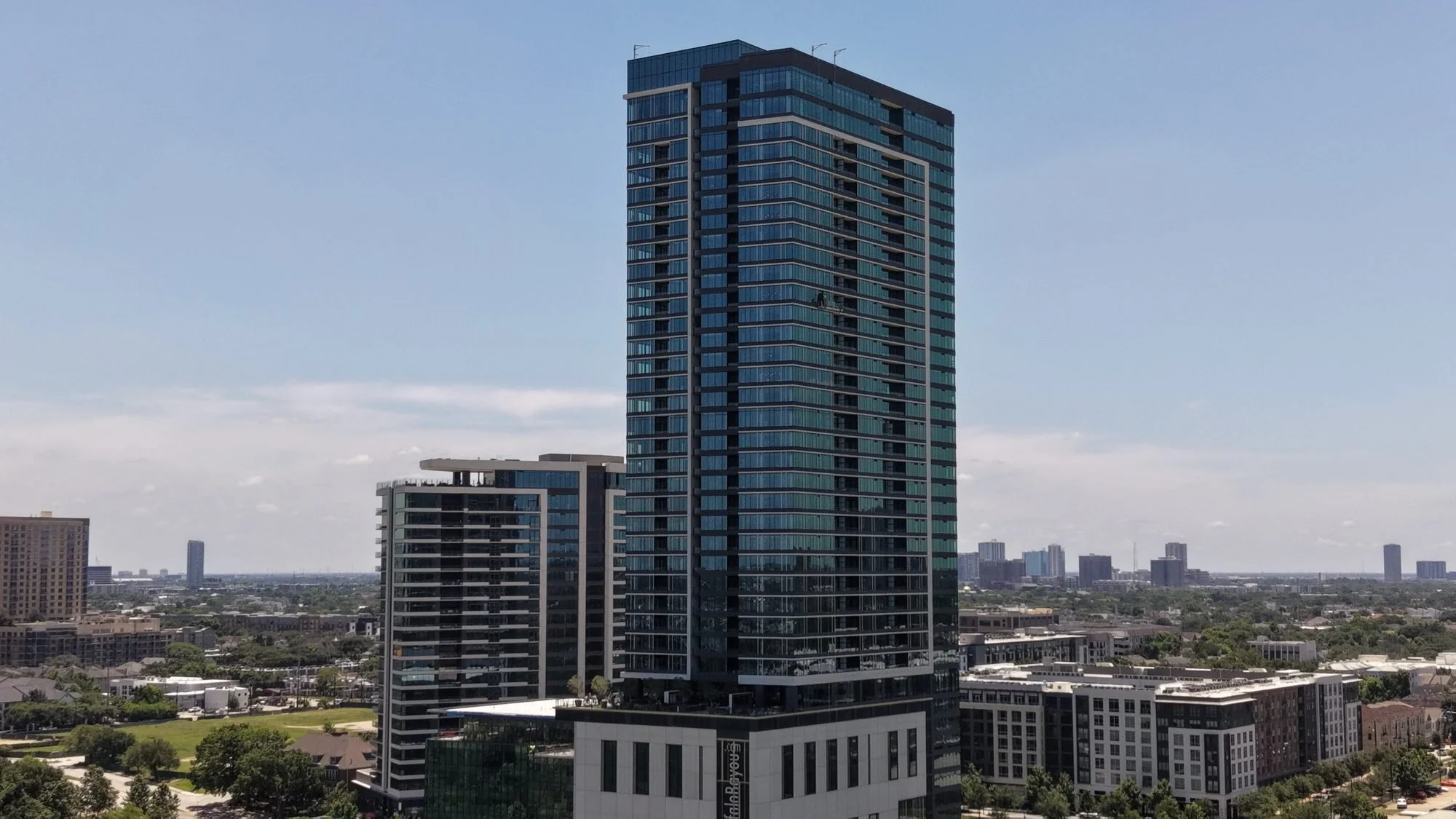
Aerial photos and video for brokers, owners, and developers marketing retail centers, offices, land, and mixed use properties across Cypress, Katy, and Greater Houston. Every shot is planned around what a buyer or tenant needs to know: access, visibility, parking, and what sits around the site.
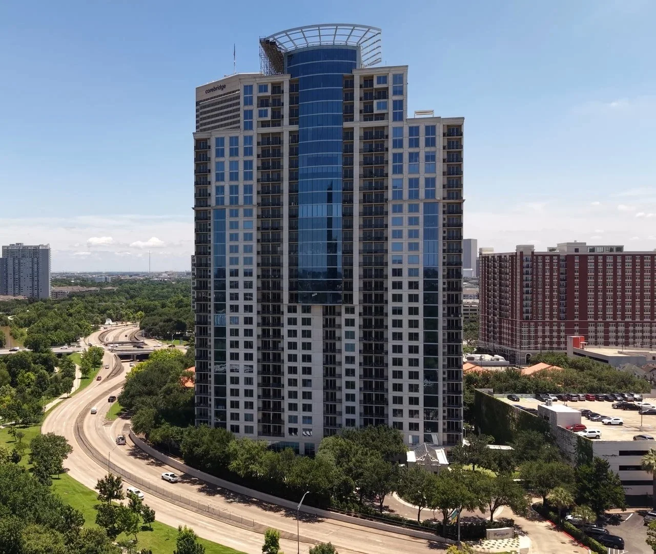
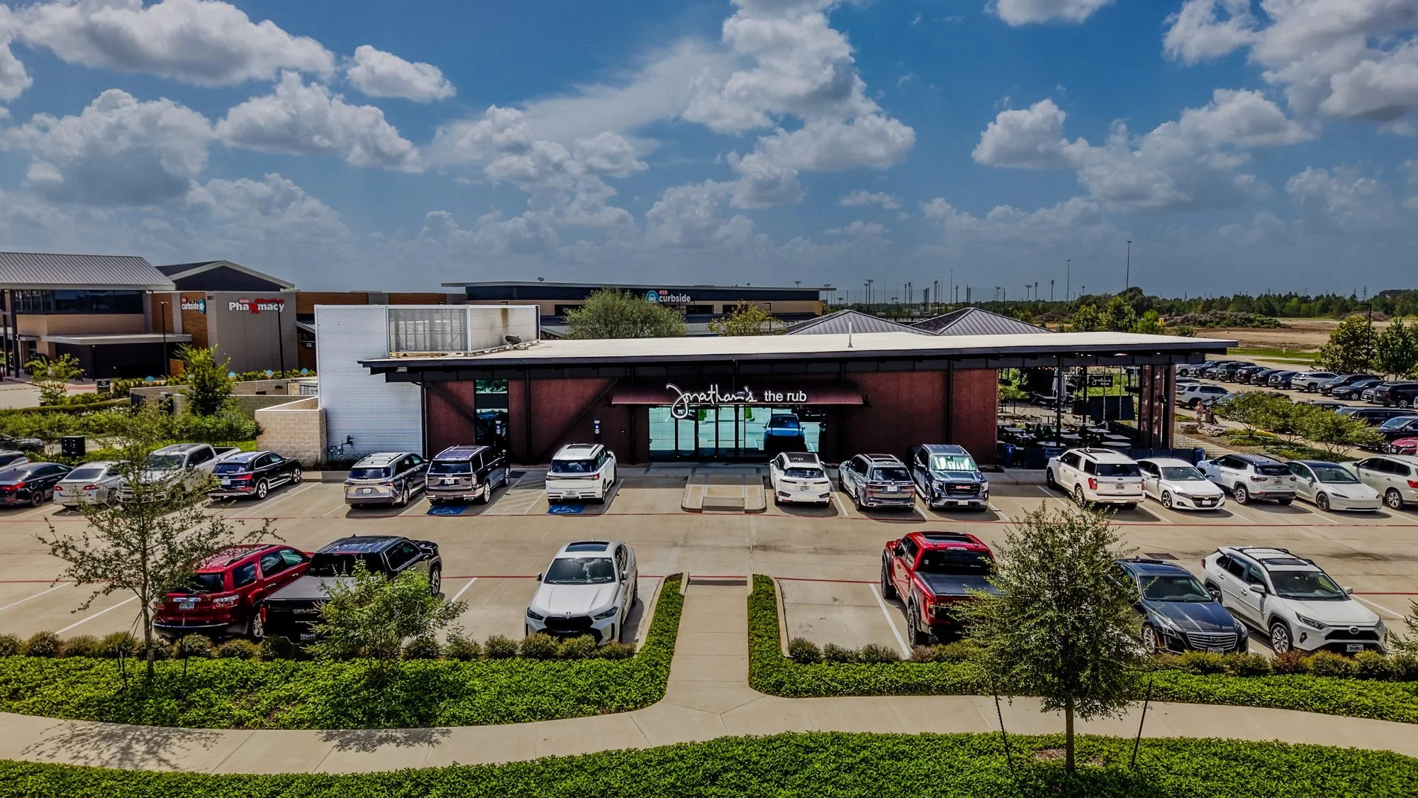
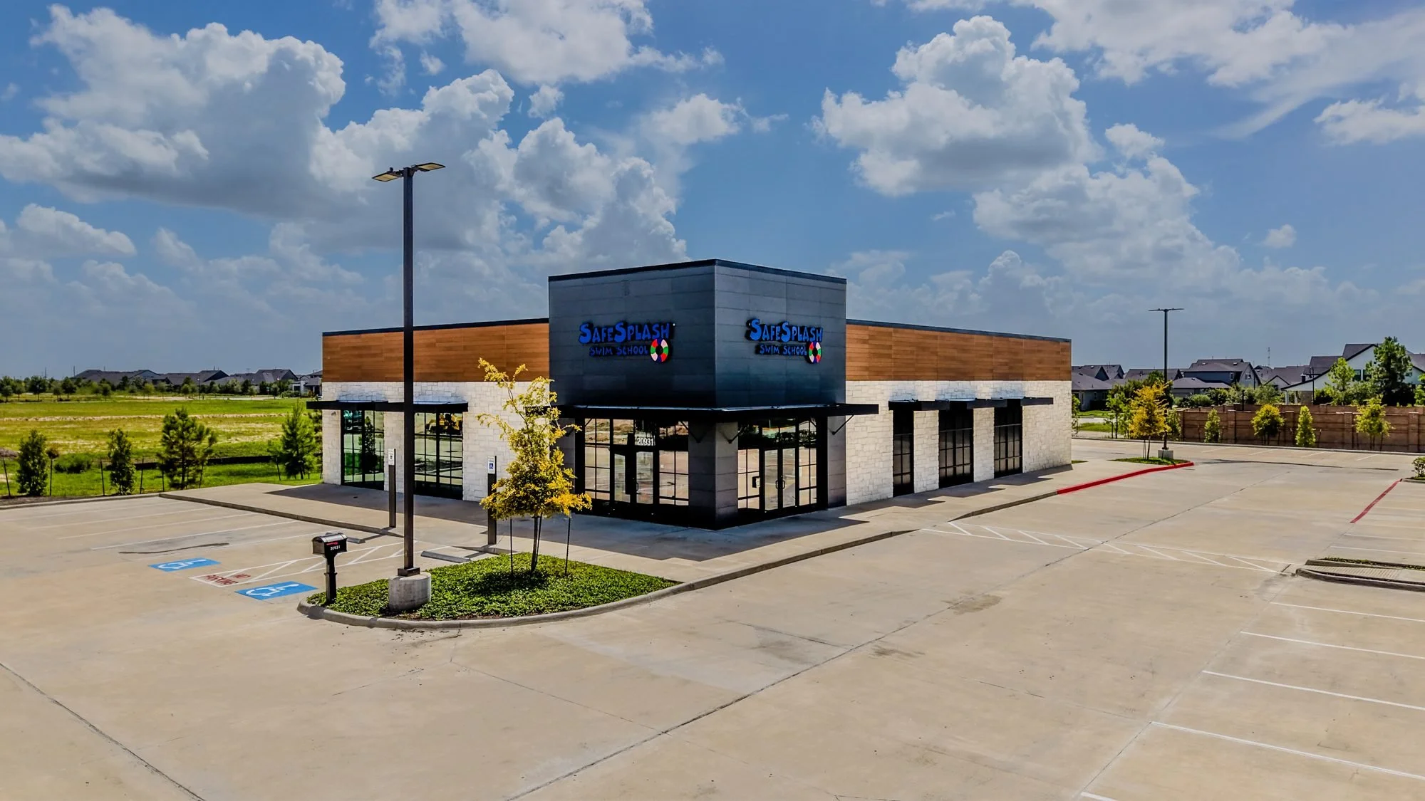
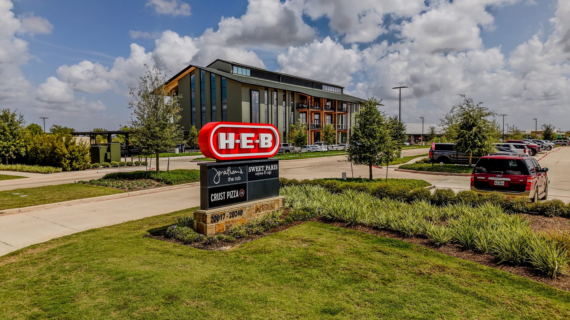
Show buyers the whole site
A commercial buyer or tenant is asking practical questions before they ever call. How do customers get in and out? How much parking is there? What traffic passes by, and who are the neighbors? Ground photos can't answer most of that. A well planned aerial set can.
I come from finance and business intelligence, so I treat every shoot like a data problem. I start with what your buyer needs to decide, then plan the shots that prove it. The drone is the tool. The useful information is what you're paying for.
What I capture for commercial listings
Access and frontage
Entrances, curb cuts, road frontage, and how traffic reaches the property.
Parking and layout
Overhead views that show lot size, parking counts, and how the site is laid out.
Signage and visibility
Pylon signs, building signage, and what drivers see from the main road.
Surrounding area
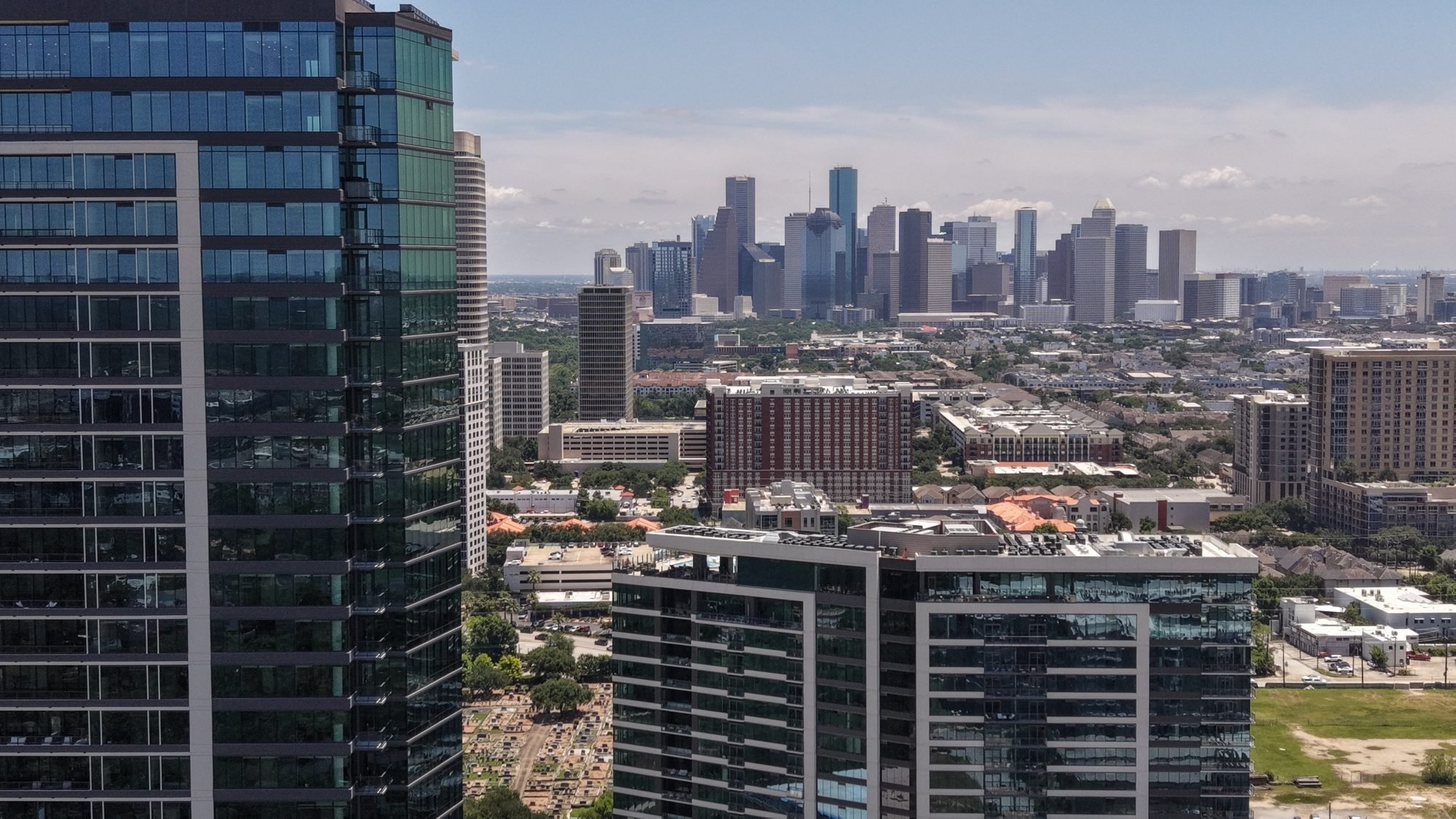
Anchor tenants, nearby retail, rooftops, and growth around the site, the context investors care about.
Land and development sites
Wide views of raw land with boundaries and nearby development so buyers can picture what could be built there.
Who I work with
Commercial brokers and leasing agents, property owners and landlords, developers, and businesses marketing a new location. If you need recurring flights while a project is being built, see my construction documentation services. Listing a home instead? My residential real estate page has packages built for that.
What a client said
“They took the time to understand exactly what I had in mind and truly brought my vision to life. They did an amazing job capturing the property and creating visuals that helped potential buyers see what could potentially be developed on the commercial land.”
Esteban Salazar, Texas REALTOR®, commercial land listing. See more reviews on Google.
Common questions
How fast will I get my files?
Photos are delivered within 24 hours. Video takes 48 to 72 hours depending on the edit. Everything comes through a Google Drive link that stays open for 30 days.
Can you fly near airports and busy areas?
Yes. I'm FAA Part 107 certified and insured, and I request FAA airspace approval ahead of time for sites in controlled airspace. I can send a certificate of insurance before the shoot.
Do you shoot interiors too?
Yes. I can add interior photos, and FPV fly through video is available for walking buyers through a space in one continuous shot.
How is pricing set?
Every property is different. Your quote depends on site size, travel distance from my dispatch location, and what you need captured. A 25% deposit locks in your date, and rescheduling for weather is always free.
FAA Part 107 Certified | Fully Insured | Veteran Owned | VetHUB Certified
Commercial Packages
Starting points for retail, office, land, and mixed use listings. Your final quote depends on site size, travel distance, and what you need captured.
Photography
From $350
Up to 15 interior and exterior aerial stills
Signage, access, and lot context included
Edited and Color Graded
From $850
Everything in Photos + Video Clips
One finished 60 second edit
Horizontal or vertical delivery
Color corrected photos