
First to Fly Drone Services LLC
Big Ideas, Real Impact
We sell useful data.
The drone is the tool. The data is the product.
We fly construction sites, real estate listings, and local businesses across Cypress, Katy, and the Greater Houston area, with aerial photography, progress mapping, and FPV fly through video. Every flight becomes visual intelligence you can use to make sharper decisions and deliver results.
A vantage point a ground camera cannot reach.
Veteran Owned & Operated | Part 107 Certified & Insured | Serving Cypress, Katy & Greater Houston
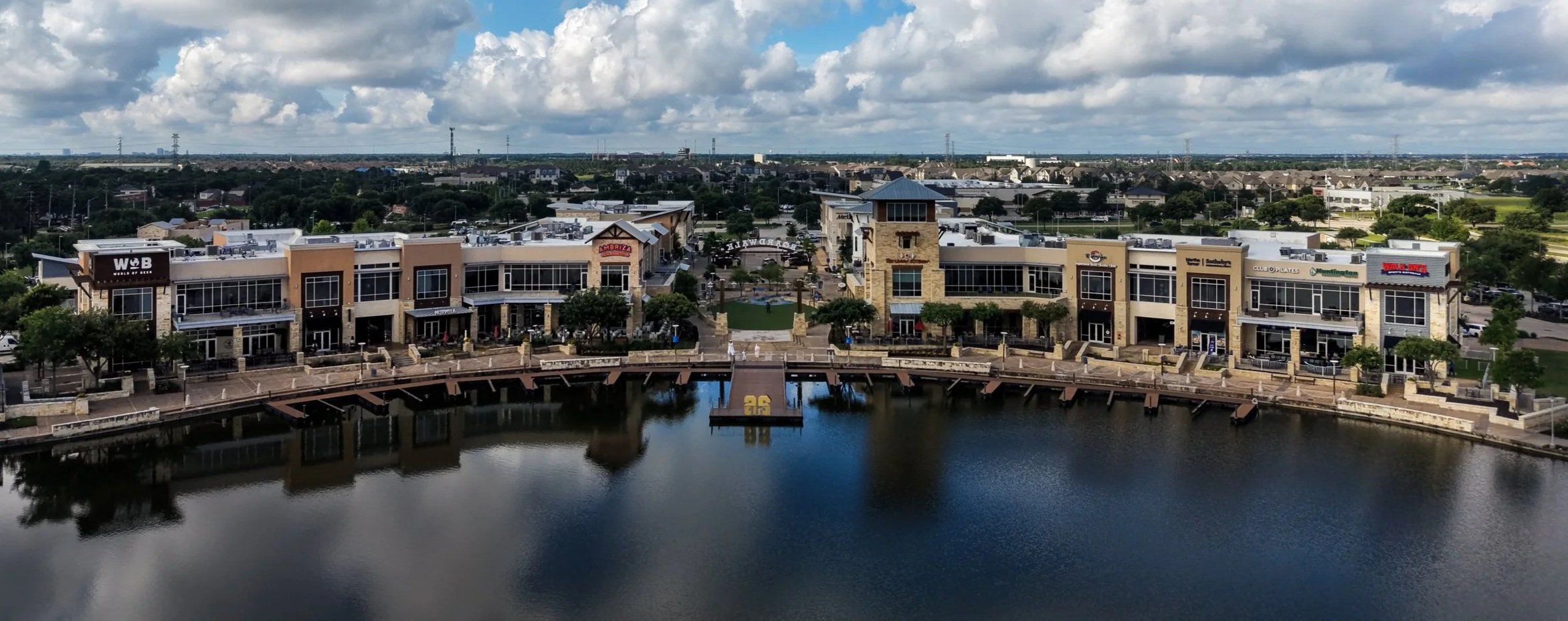
Most aerial photos and video sell a mood. We build our visuals around the three things that matter to the people who hire us:
What Visual Intelligence Means To Us
Perspective
A vantage point a ground camera cannot reach.
Point in time accuracy
An unfiltered record of a site or property on a specific date.
Embedded Data & Quality
Each deliverable has GPS and timestamp metadata embedded and delivered in 4k.
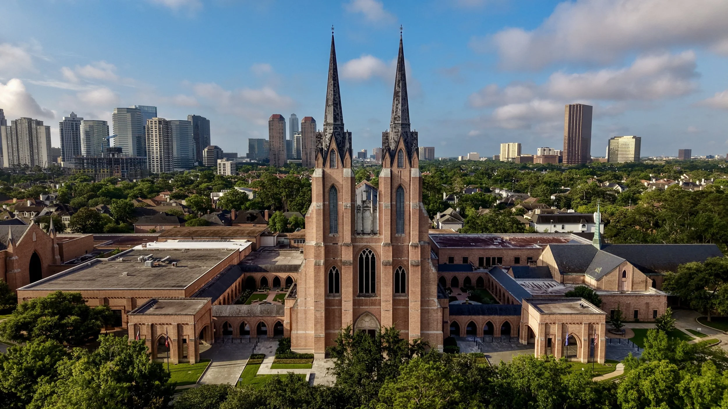
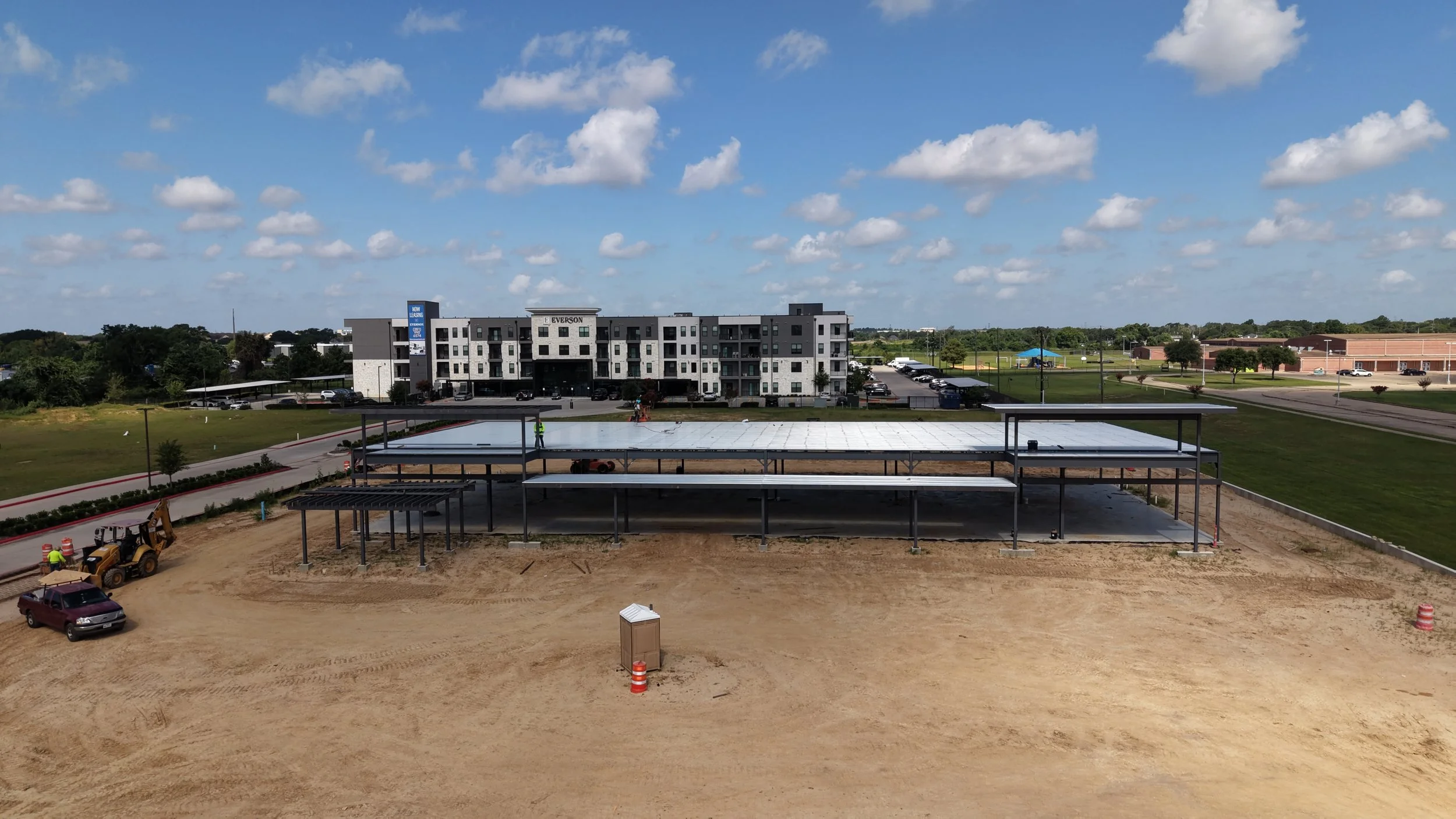
That combination is what turns nice looking clips into something a superintendent, a broker, an agent, or a buyer can actually use to decide, document, and show results.
Our Services
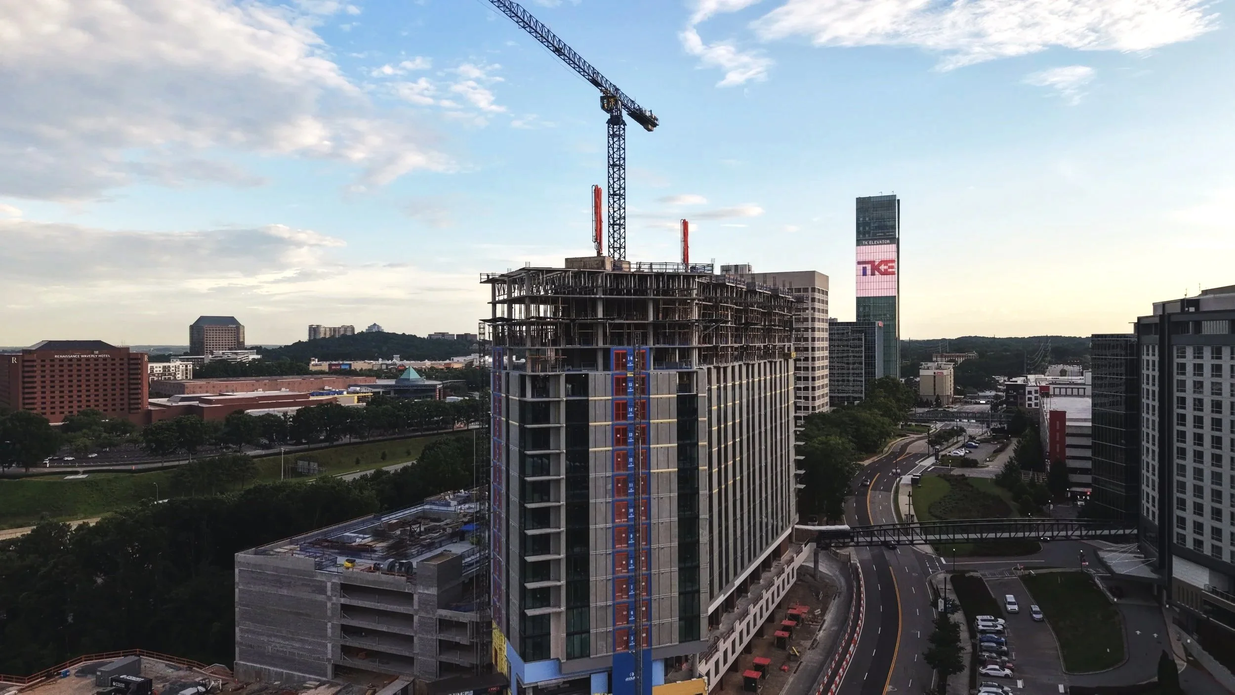
PROGRESS
Construction Documentation
Recurring flights on a schedule you set, so stakeholders see the same unfiltered record every time. Full site documentation including nadir and oblique shots.
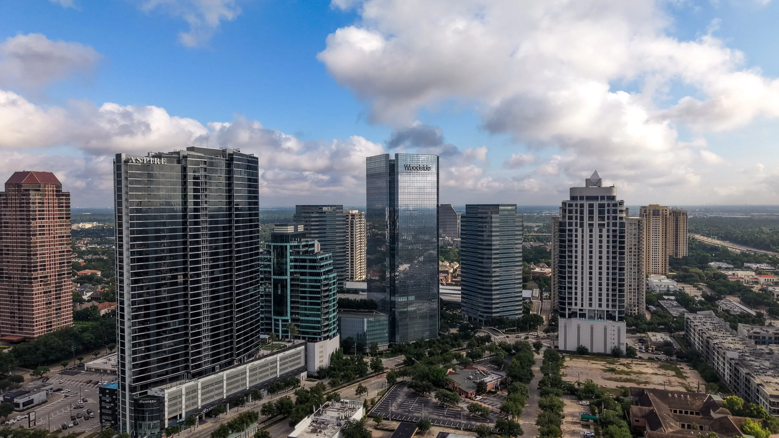
PRESENCE
Residential & Commercial Real Estate
Aerial and interior photos and video that give listings a competitive edge, showing the property, its access points, and how it sits within the surrounding area. Brokers and owners, see our commercial real estate services.
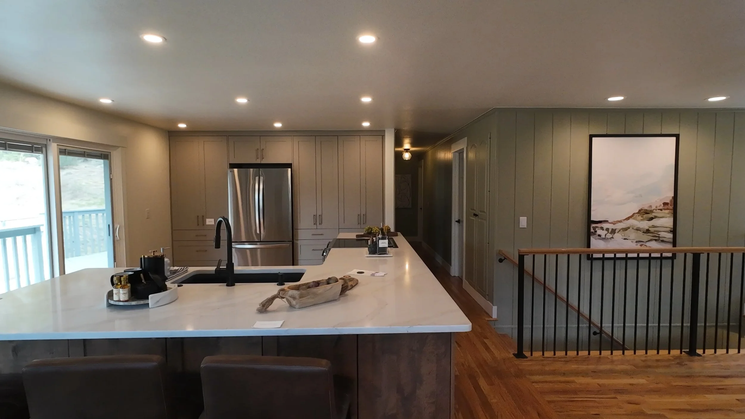
MOTION
FPV Fly Through Tours
One continuous flight through a home, estate, or business that moves like a walkthrough, with motion and energy a static gimbal shot cannot replicate.
What Clients Say
Every review below is a five star review on Google. See them on Google or leave your own.
★★★★★
“They took the time to understand exactly what I had in mind and truly brought my vision to life. The quality of the work and attention to detail exceeded my expectations.”
Esteban Salazar
Texas REALTOR®, commercial land listing
★★★★★
“The turnaround time was more than I could’ve asked for. The quality of work allowed my firework business to reach new levels of exposure.”
John
Firework business owner
★★★★★
“Carlos provided last-minute drone footage of one of our commercial buildings. He promptly delivered the footage, and we were able to showcase the work to a customer right on time.”
Diana Moreno
Commercial building footage
★★★★★
“Carlos captured drone images and pictures for a graduation event and the footage was spectacular. Carlos has a keen eye for detail. We loved his work!”
Jess
Graduation event
★★★★★
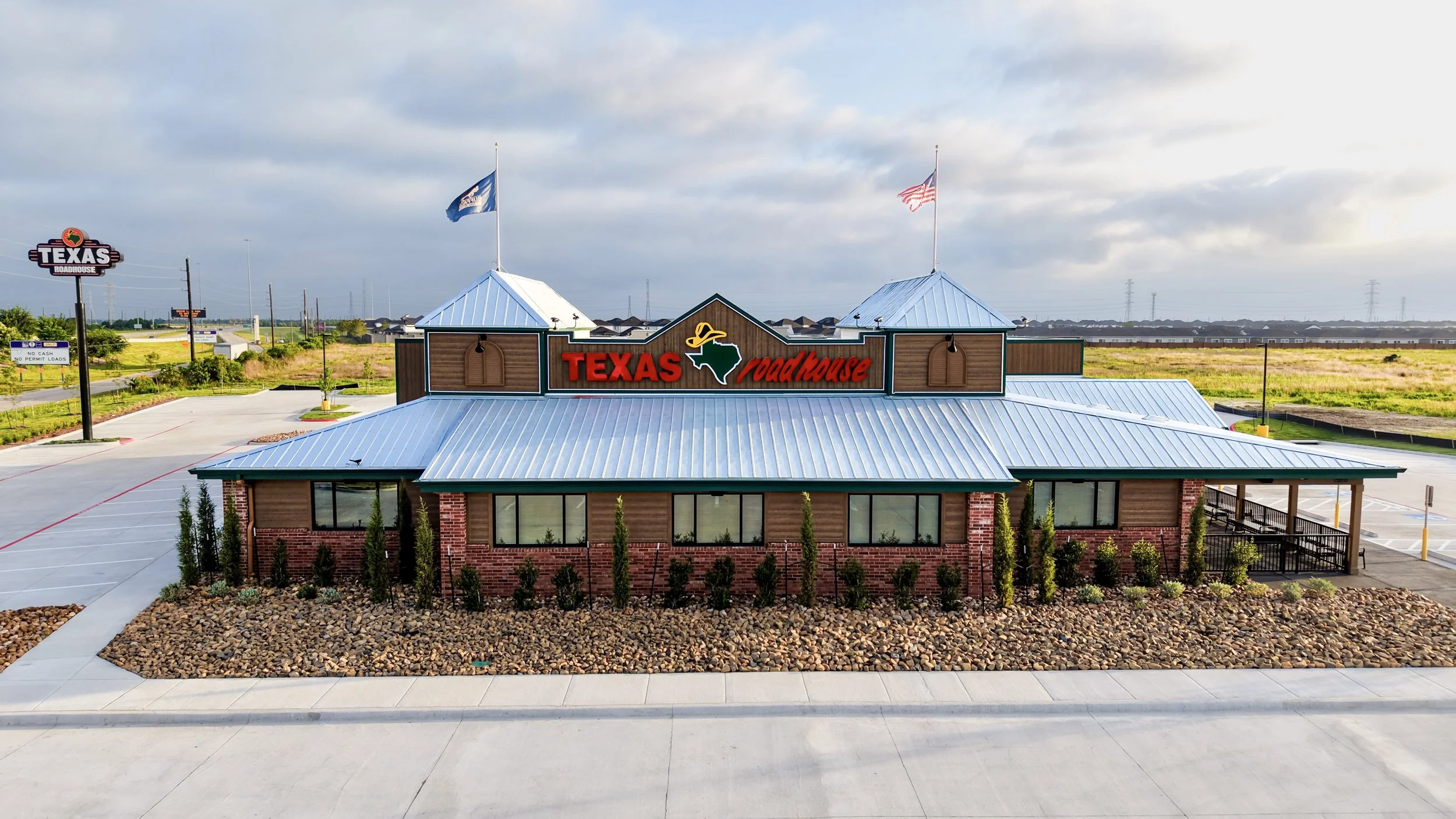
“He captured photos and videos in different angles and depths. He is truly a professional and went above and beyond for this grand opening.”
Giselle
Texas Roadhouse Cypress grand opening
★★★★★
“An outstanding individual with a passion for drone safety, attentiveness to detail, and creative execution. He will give you a 100 percent of his focus from start to finish!”
Jordan
Google review
About
Built By A Marine
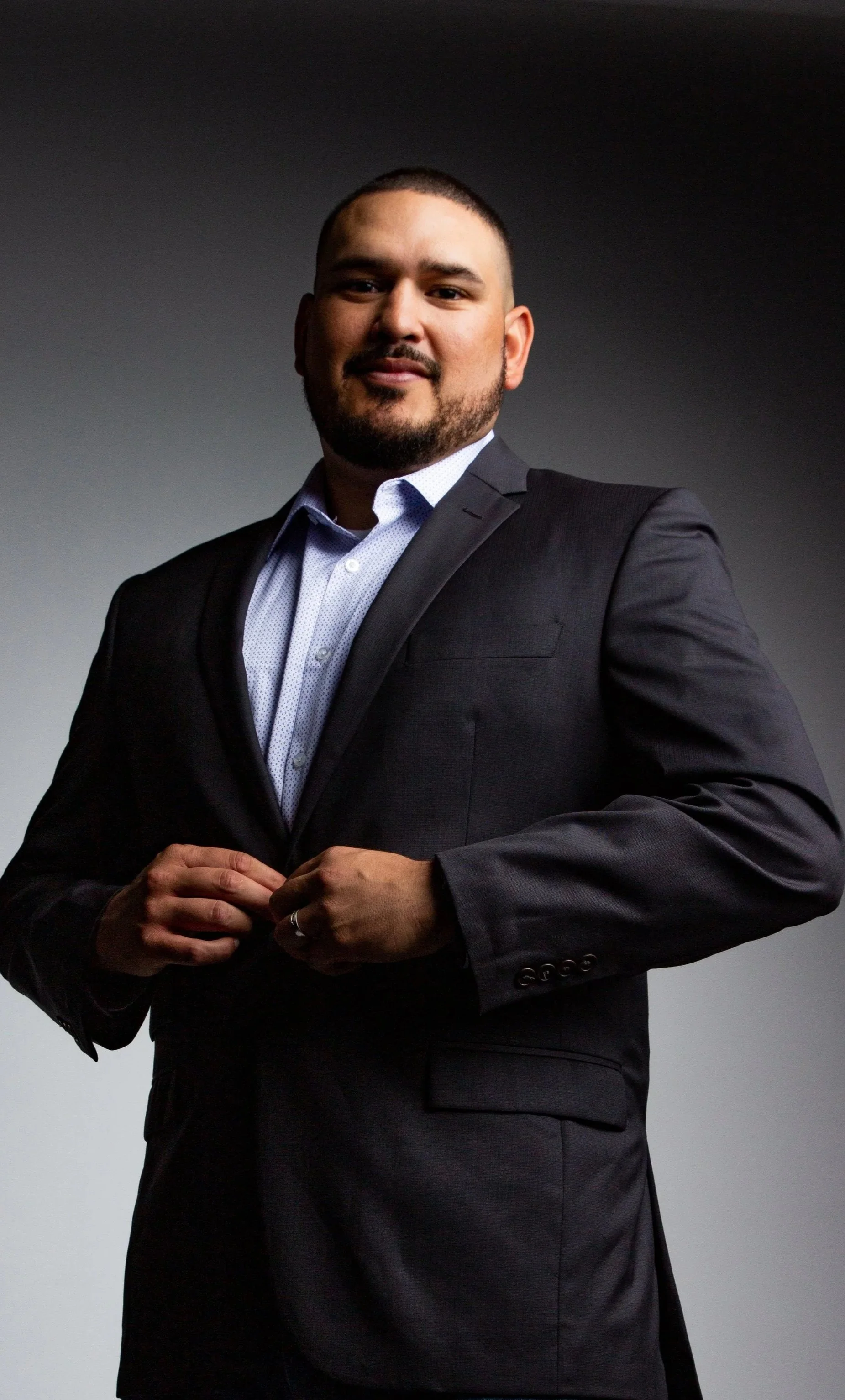
First to Fly Drone Services LLC is owned and operated by a U.S. Marine Corps veteran with a background in finance and business intelligence, based in Cypress.
I started this company for two reasons. First, I saw a quality gap in what was being marketed as drone footage. A lot of it was inconsistent, bare minimum, shot once with no real standard behind it. I saw an opportunity to raise that bar.
Second, visual intelligence plays a bigger role in decision making than most people give it credit for. As business owners, the decisions we make are only as good as the data behind them. A photo tells you what something looks like today. A structured flight history, shot from the same position on the same schedule, tells you what's changing and whether it matches the plan. That's the difference between a nice picture and data you can actually use to make the right call.
That background is why clients get more than footage back. They get visual data they can track over time to make better decisions.
Field Notes
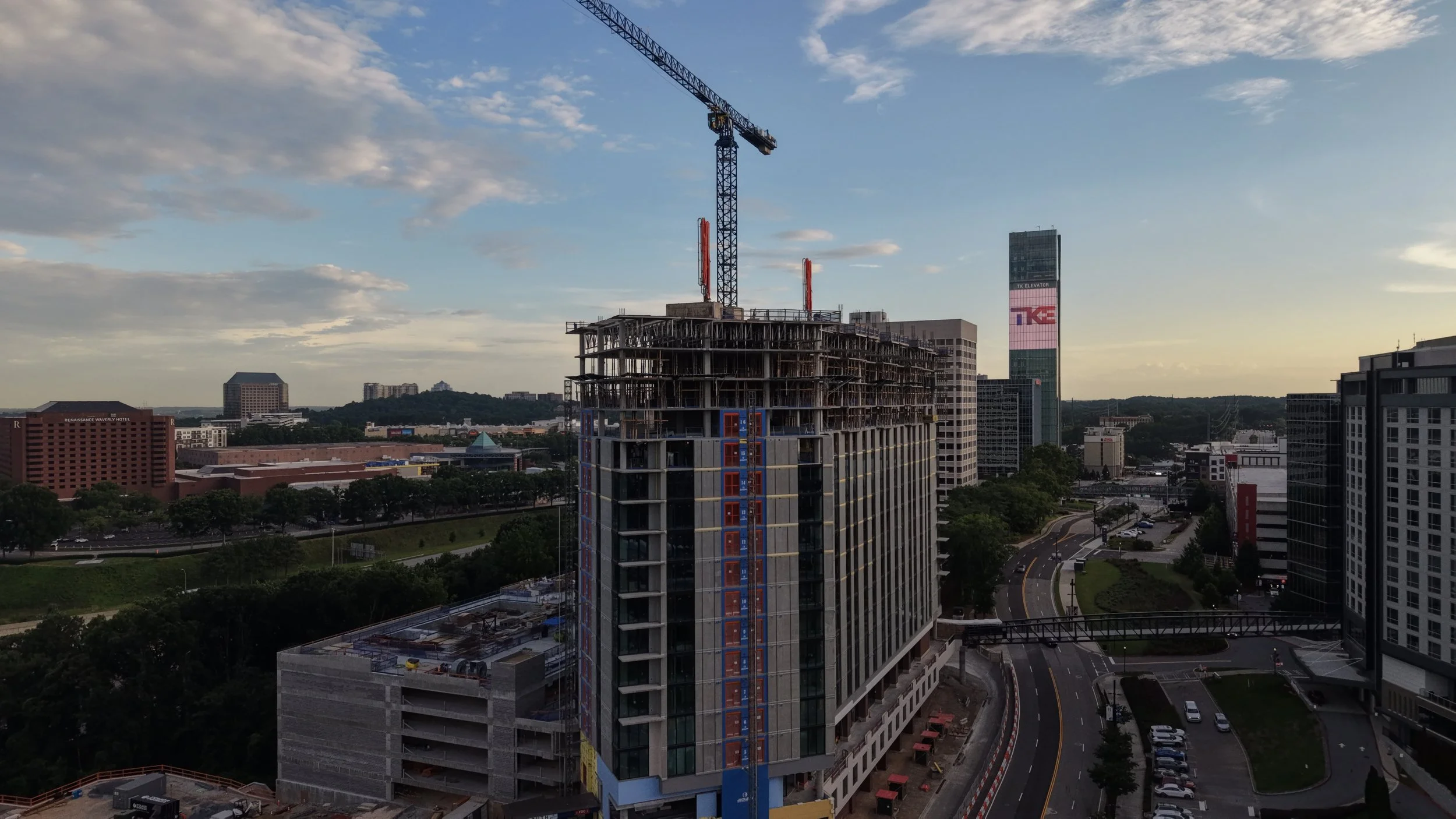
Drones & Construction
Why Drones and Construction Were Made for Each Other
How aerial data helps GCs, investors, and project managers track builds, cut risk, and market the finished property..
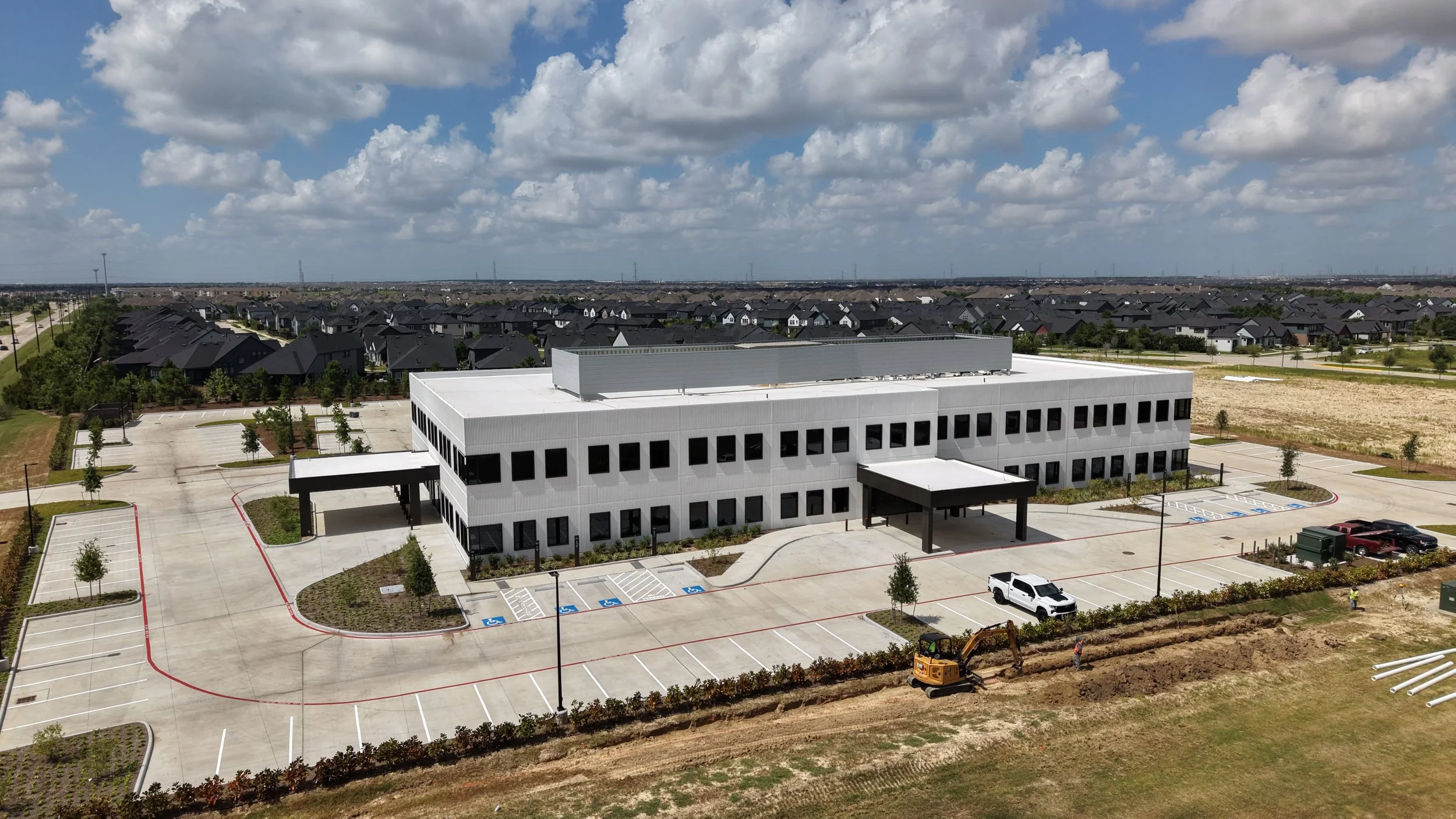
Construction Watch
Memorial Hermann’s New Cypress Campus, Tracked From The Air
A running visual record of the build as it rises, shot the same way we shoot for paying clients.
Know Before You Fly
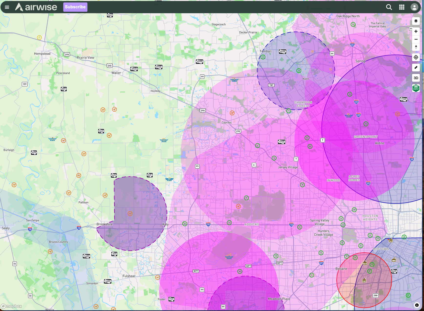
Can You Fly a Drone in Katy or Cypress, TX?
Three airports sit close to us. Here's what that means before you fly, or before you hire someone who does.
Let’s Talk
Tell us about your site, listing, or property and we will get back to you with availability and a plan.